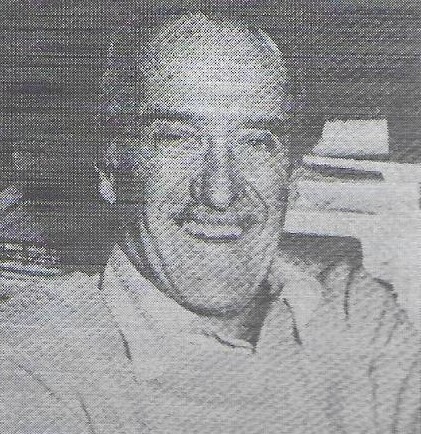
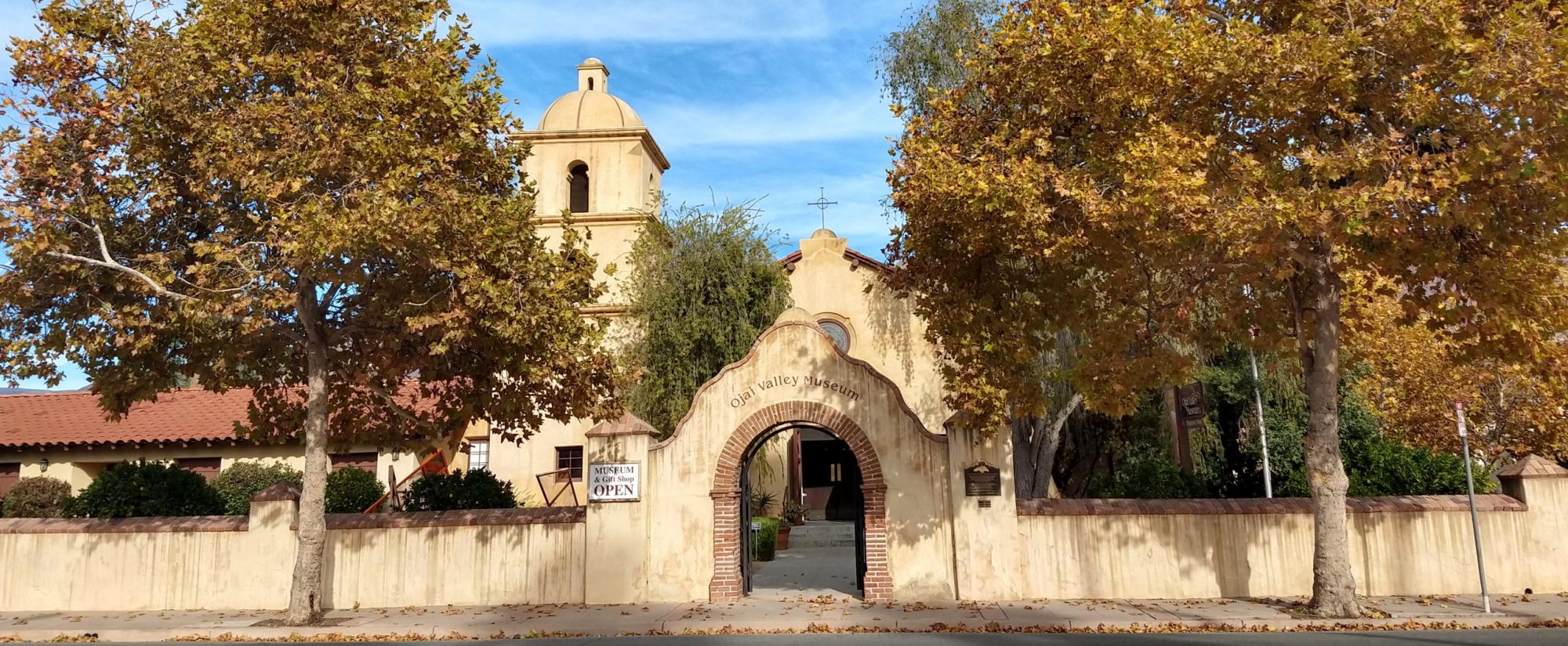
The following article was first run in the Wednesday, February 15, 1978 edition of the “Ojai Valley News” on Page B-16. It is reprinted here with their permission. Photo inserted by the “Ojai Valley Museum”.
Bike lanes on Hwy. 33 presages future
Editorial by Fred Volz
The fact that the shoulders of Highway 33 are torn up right now between Villanova Road and Tico Road in Mira Monte is good news. That’s because CALTRANS, of all people, is building bike lanes on both sides of the road, as was announced in this newspaper last month.
California’s highway bureaucracy has finally become aware and is doing something about the 75 million or so of us in America who use bicycles as an alternate means of transportation. In 1975, over 7.5 million foreign and domestic bicycles were sold in this country — twice as many as were sold 10 years ago.
THIS TREND is increasing, as is evident to people-watchers in Ojai Valley. As our area becomes increasingly congested with automobiles, and the benefits — to the rider and to the environment — become more and more evident, we expect bike-riding locally to outstrip by far the national trend.
The long-time baby of this writer, in gestation for a decade, is about to be born. Last week, supervisor Ken MacDonald reported that he is confident the county will be able to acquire the abandoned Southern Pacific Railroad right-of-way, whether or not supervisors re-allocate the $300,000 currently earmarked for the project. That’s because the state is pushing the project.
Valleyites must be concerned that this marvelous strip of land which links the three major communities in the valley becomes “multiple use”: hiking, biking, riding. We’ve heard bureaucrats say that the three aren’t compatible. “You can’t have a horse trotting on an asphalt bike path,” has been cited. That’s true; so you pave one side for the bikers and roll dirt on the other half for the riders.
At least, this was the way it was done by the state and City of Sacramento in its marvelous hiking, biking, riding pathway we visited last year in the state capitol. The “trail” stretches along the American River from the suburbs to downtown along a spur line railroad right-of-way that’s still in daily use by freight cars. The pathway was built along the railroad right-of-way to one side of the tracks, which for the most miles run along an elevated embankment. Works fine.
THE MULTI-USE pathway has a 6-foot strip of asphalt down one side with a white center line divider down the middle to mark the opposing directions. Alongside is graded an ample dirt strip for horses.
One Sunday we trotted along the asphalt for 5-6 miles on our usual morning jaunt. Along the way we met other runners and were passed in both directions by hordes of bikers. Horses followed other paths along the river embankment. We all had a fine time waving and greeting each other. The morning proved sunny and clear; the air off the river and the fields was fresh and cool; the experience was such that we remember it vividly.
So, let’s get on with our own pathway on the abandoned railroad, so that someday we may experience the joy of riding/hiking/biking through our beautiful valley.

