Matilija Dam

Matilija and Casitas Dams by Patty Fry

The Valley’s rising population in the 1930s and 40s increased the demand for water. That demand was also evident in Ventura and in 1944, an act of the legislature formed the Ventura County Flood Control District. They employed Donald R. Warren as consulting engineer to evaluate the local water situation and he recommended a $3 million bond issue to construct a dam in the Matilija Canyon and another on Coyote Creek.

Under Construction 1946-47

[Construction began in June, 1946.] The Matilija Dam project met with major problems. Unexpected delays, rising costs and heavy criticism plagued the job. Clay began oozing from under the dam foundation in Matilija Canyon, and the carpenters walked out. The dam was eventually deemed unsafe and a lawsuit against the engineering firm ensued. This proved to be a very costly decision.
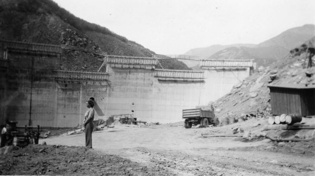
Under Construction 1946-47

Finally, despite all of these adversities, the site was judged safe and the workers completed the Matilija Dam in June, 1948. But the beautiful new dam stood embarrassingly empty for three years, as a severe drought was in progress. There wasn’t enough rain during that time to make more than a mud hole of the huge reservoir and that is what water customers were getting–mud. Finally, during the winter of 1951, a storm produced enough rain to fill the reservoir to capacity and the first spill occurred the following January [1952]. Conduit pipe carried water to the spreading grounds near the mouth of Senior Canyon at a rate of 1,350 gallons per minute. This water percolated into the ground and helped replenish the wells below.

First Spillover 1952

By March, 1952, 44,960 acre-feet of water had been lost over the Matilija dam spillway to the ocean. It was evident that a larger facility was necessary, especially when considering the long-range water picture. In the meantime, geologists tested a dam site at Coyote Creek. A possible fault caused the project to be canceled, but after further investigation, this decision was reversed. Consultants for the flood control district recommended a 90,000 acre-foot reservoir on Coyote Creek to stop the Matilija overflow, and the project was approved.
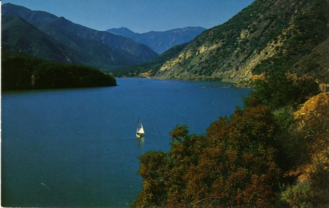
Lake Matilija

The Federal Bureau of Reclamation completed Casitas Dam in 1959. …Casitas Municipal Water District presently operates Matilija Dam, which is owned by the Ventura County Flood Control District. No water is served to customers from this source. Lake Matilija is used primarily to store water during flood periods for later transfer to Lake Casitas.


The above is excerpted from Patty Fry’s book The Ojai Valley: An Illustrated History. The book was updated in 2017 by Elise DePuydt and Craig Walker. It is available in the museum’s store and through Amazon.com.
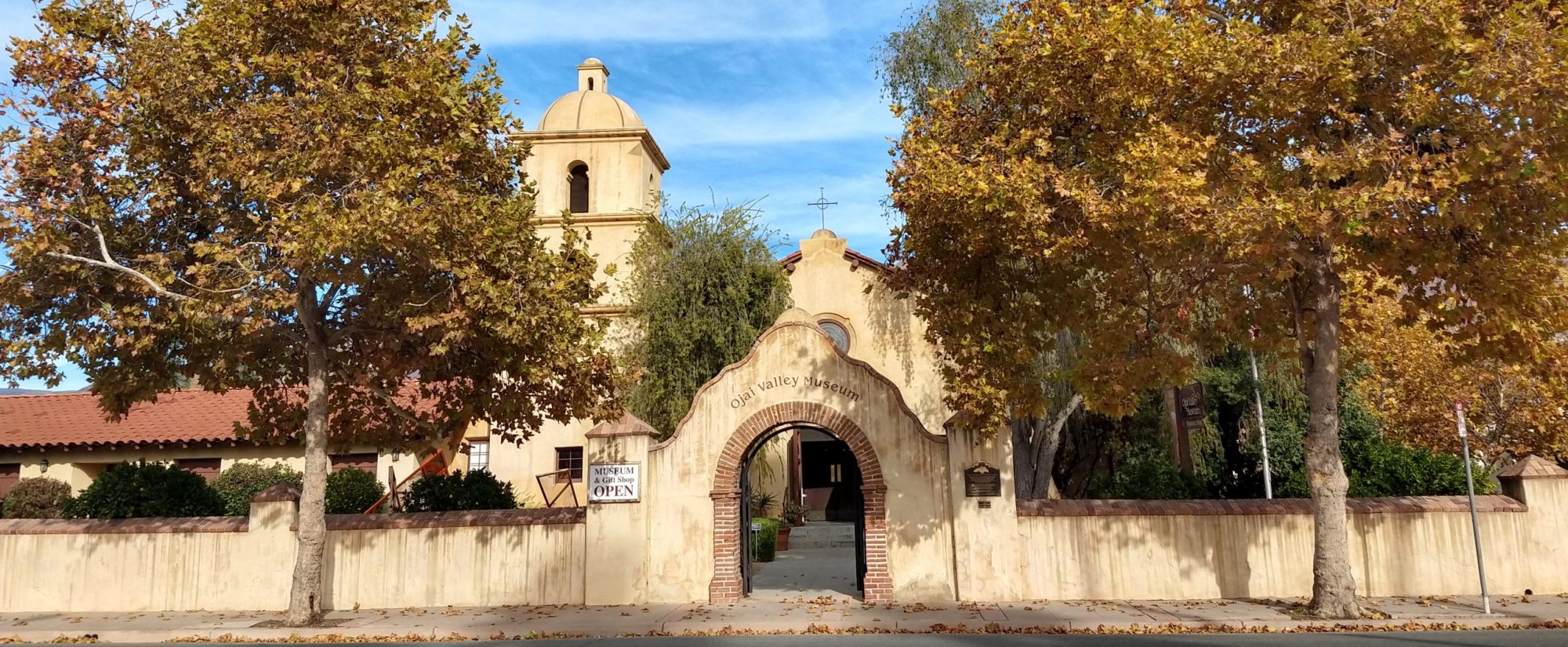
 

How Casitas Got Its Name

How Casitas Got Its Name by Richard Hoye

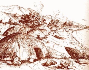
A Chumash casita.

Great earthquakes struck the California coast in 1812-1813. They began with the tragic destruction of the church at Mission San Juan Capistrano on December 8, 1812. About forty worshipers were in the church at the time, and the tower of the building fell back onto the nave, with much loss of life.

As things go with great earthquakes, a continuous series of substantial shakes followed the first great jolt. The fearsome prospect of buildings collapsing would have forced people into abandoning their customary housing (much of which was probably damaged).

The best housing for an earthquake at the time would have been the traditional structures of the Native American people all along the coast. There would be little likelihood of their collapse in an earthquake; and, even if they did collapse, there wasn’t much weight to them.

Ocean currents may well have been disturbed by the earthquakes; and there were reports of threatening tidal wave activity, which would have further added to the alarm of the people.

Another substantial shock came on December 21. This time, Mission La Purisima Concepcion, northwest of Santa Barbara, was destroyed. The primary quake lasted four minutes, and a second shock lasted five minutes. Mission Santa Ines also suffered damage.

A story handed down from generation to generation in Ventura County told how the population of Mission San Buenaventura withdrew from the immediate coast and moved inland to temporary housing. These houses, constructed in the traditional Chumash way, were called casitas in Spanish; and they were clustered near the Ventura River narrows at the southern entrance to the Ojai Valley.

The population of the Mission at the time was about one thousand persons. The displaced population, however, was probably not that large; since some of the people already lived regularly at rancherias in the countryside. The number of displaced persons at the narrows, conceivably, exceeded five hundred.

A large casitas was understood to house about ten persons, but the houses at the narrows were temporary, and so may not have been especially large. The number of houses that would have been required for the displaced population at the narrows may have numbered between fifty and one hundred. They would have made a memorable encampment.

Earthquakes continued into January 1813, and the displaced community may have been at their temporary location for several months. When Father Senan and the mission population returned to Mission San Buenaventura in March of that year, they discovered that the tower of the church and part of the facade were damaged to such an extent that they would have to be replaced.

The name casitas remained after the people left. It was applied to the Casitas Narrows and Casitas Springs. It was used to designate the area extending about a mile to the north of the narrows, which became known simply as The Casitas. It was applied to Casitas Dam and Lake Casitas. The pass to the west was named Casitas Pass, and the valley just over the east Casitas Pass has been known as the Little Casitas Valley.